Send us a no-obligation enquiry now:+49 (0) 511 81 40 60mail@LSA3D.com

Our services for your precise digital building survey

On-site 3D scanning

We come to you and scan your property on site – throughout Europe.

More infoMore info

Scan data handover

You receive the data you need: the FARO project or Autodesk ReCap.

More infoMore info

Orthophotos

Measured images from the 3D scan provide a sound basis for analysis: fast and cost-effective

More infoMore info

2D CAD drawings

CAD drawings in 2D format – because drawings on site are still 2D. Format: Autocad dwg or dxf with vector content.

More infoMore info

3D BIM models

Building Information Modeling is becoming ever more important: we provide IFC models, Revit projects and Autocad Architecture 3D models.

More infoMore info

Industrial plants

3D clash models enable precisely fitting redesigns: as solids or with component-based libraries

More infoMore info

Panoramas

360° photo panoramas from every individual scan! Interactive and with a measuring function. Free of charge with every LSA scan project.

More infoMore info

Videos from laser scans

Video animations with free camera paths. Get inspired on our YouTube channel!

More infoMore info

Visualisation

Perspective views and innovative animations: see the scanned property in new dimensions!

More infoMore info

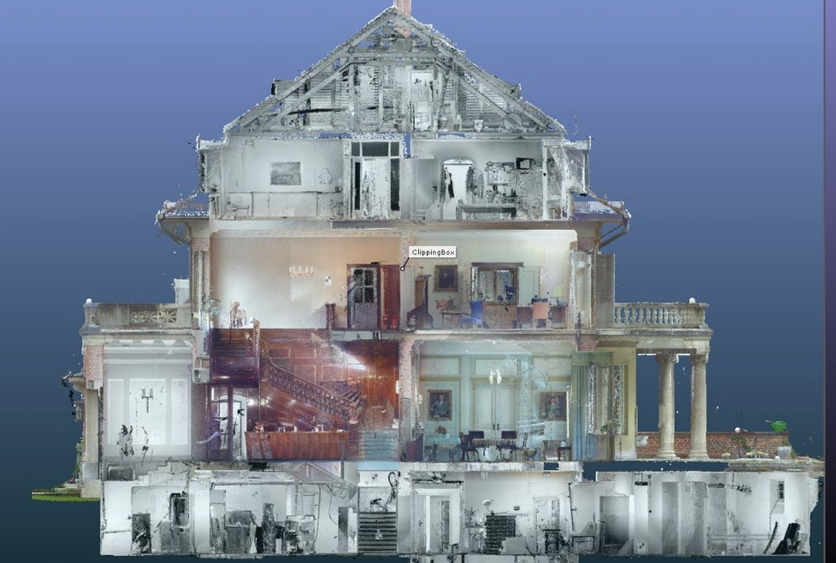
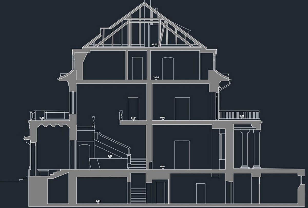
Illustration of the 3D scan and the 2D CAD drawing

2D CAD drawing3D scan

Illustration of the 3D scan and the 2D CAD drawing — Drag the slider

Your advantages of 3D laser scanning compared with a conventional survey:

Repeated follow-up measurements on site are no longer necessary. This allows you to handle remote projects very economically.

Thanks to the high accuracy compared with a manual survey, you avoid planning errors.

The survey is contact-free. We capture even hard-to-reach areas over long distances.

The laser requires no ambient light. We capture even dark areas in pin-sharp detail.

A single data model is archived and provides accurate information on the as-built condition even years later.

The laser scanner is compact, battery-powered and mobile. We work for you throughout Europe.

Send us a no-obligation enquiry now:

The unique selling point of 3D laser scanning compared with other measuring methods lies in the holistic recording of the existing building and the versatility of the data analysis.

  • Every individual scan is a 360° panorama of the surroundings visible from the scan position
  • You can take any distance measurements you like in the interactive photo panorama
  • This allows you to analyse the geometry of the property far better than with ordinary photos. After the scan you have up-to-date data on the as-built condition and thus comprehensive documentation of the actual conditions on site.
  • You avoid planning errors and can carry out detailed redesign at an early stage. This prevents stress during construction, reduces building costs and shortens construction times

The point cloud generated during scanning can consist of hundreds of individual scans which, registered to one another in their correct positions, provide comprehensive documentation of the recorded property.

  • From the point cloud we extract precise, distortion-free 2D measured images for floor plans, elevations and sections in photo quality – at any point in the building you require. Any section depth or floor plans at freely selectable heights – no problem at all with 3D scans!
  • Load the scan data into your CAD program as a 3D environment. This enables accurate 3D modelling for clash models in plant engineering or the building model for Building Information Modeling (BIM).
  • It is also possible to use the 3D scans for artistic animations and videos. Thanks to freely selectable camera paths, you can even fly virtually through walls. No drone can do that.
powered by Reuther-Media