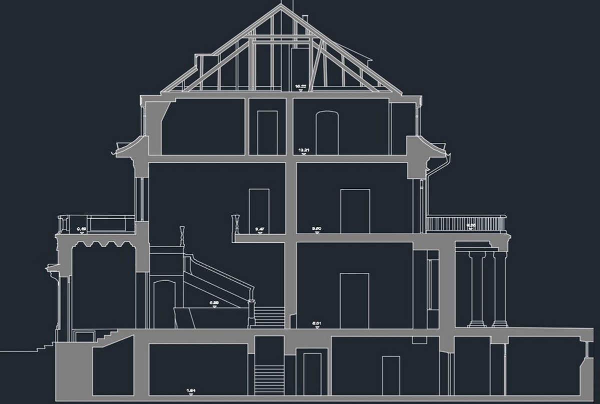
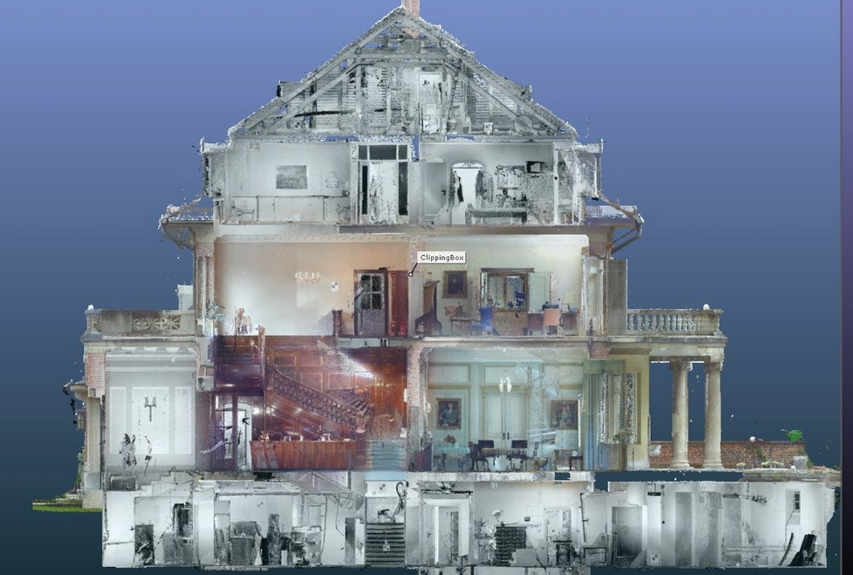
The unique selling point of 3D laser scanning compared with other measuring methods lies in the holistic recording of the existing building and the versatility of the data analysis.
Every individual scan is a 360° panorama of the surroundings visible from the scan position
You can take any distance measurements you like in the interactive photo panorama
This allows you to analyse the geometry of the property far better than with ordinary photos. After the scan you have up-to-date data on the as-built condition and thus comprehensive documentation of the actual conditions on site.
You avoid planning errors and can carry out detailed redesign at an early stage. This prevents stress during construction, reduces building costs and shortens construction times
The point cloud generated during scanning can consist of hundreds of individual scans which, registered to one another in their correct positions, provide comprehensive documentation of the recorded property.
From the point cloud we extract precise, distortion-free 2D measured images for floor plans, elevations and sections in photo quality – at any point in the building you require. Any section depth or floor plans at freely selectable heights – no problem at all with 3D scans!
Load the scan data into your CAD program as a 3D environment. This enables accurate 3D modelling for clash models in plant engineering or the building model for Building Information Modeling (BIM).
It is also possible to use the 3D scans for artistic animations and videos. Thanks to freely selectable camera paths, you can even fly virtually through walls. No drone can do that.