
FARO Scene LT
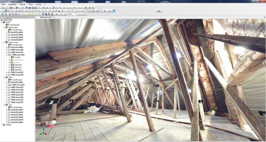
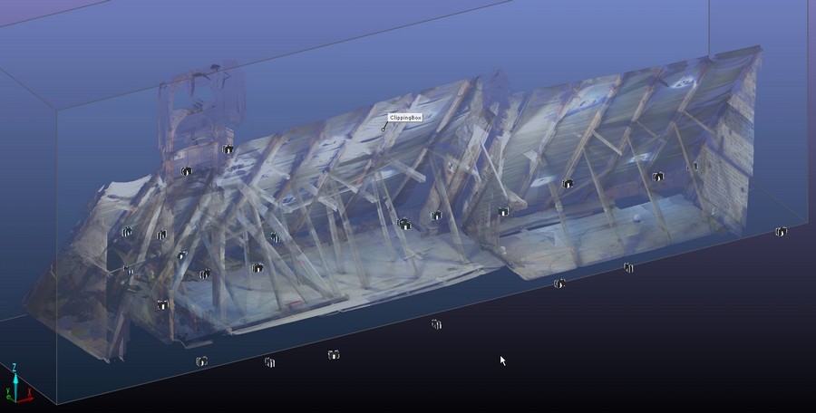
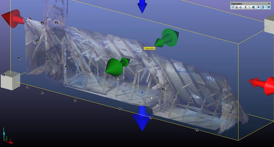
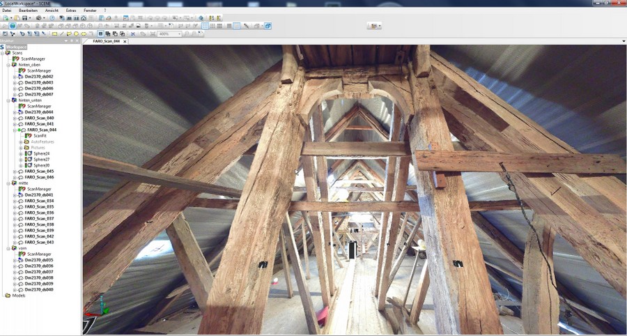
This is the viewer software for viewing and analysing the individual scans and the overall point cloud. You receive it with every project you commission from us, together with the original scan data. It lets you navigate the interactive 360° photo panorama of the individual scans. Measure any distances in the project, determine any heights relative to reference level 0 and create screenshots of details for your project partners. Use the scan point cloud with the clipping boxes to isolate any sections of the scanned plant or building. This gives you a powerful tool for the remote analysis of the scanned property, which any number of project participants can use free of charge. FARO provides the software for download here (registration required).




Autodesk ReCap for Autocad, Revit, Plant3D, 3D-Studio Max…
Autodesk has contributed a great deal to the growing democratisation of point clouds. The ReCap format integrates seamlessly into the workspace of current Autodesk CAD design software, allowing you to model in 3D directly in the point cloud! This is possible on all Autocad platforms such as Architecture, Factory Design, Plant and Inventor, as well as Revit, 3DS Max and Maya. Via our 3D data portal www.point-pool.com you can obtain a sample file to try out. ReCap is available as free software directly from Autodesk and is already included in all Design Suites.

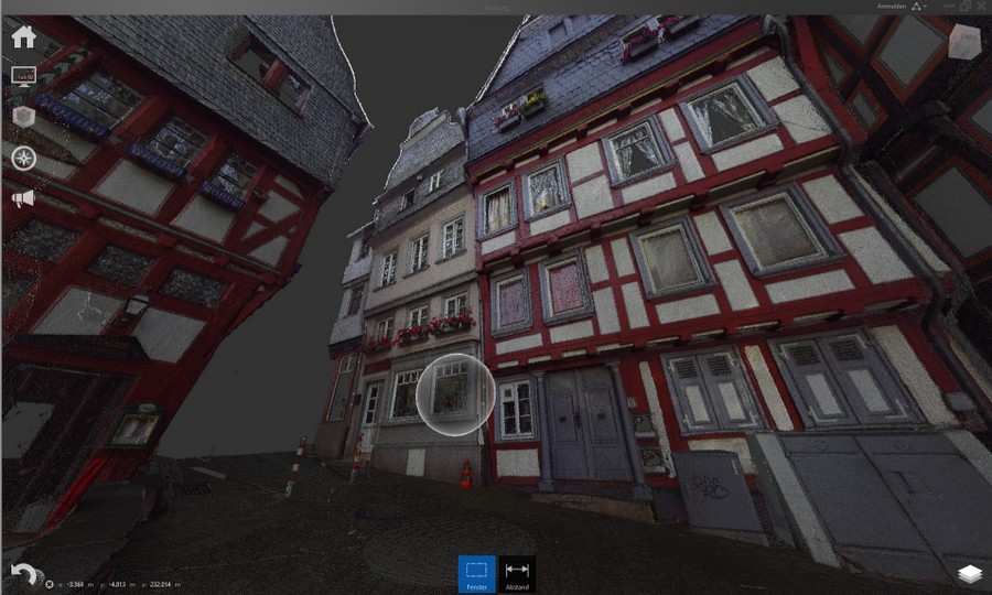

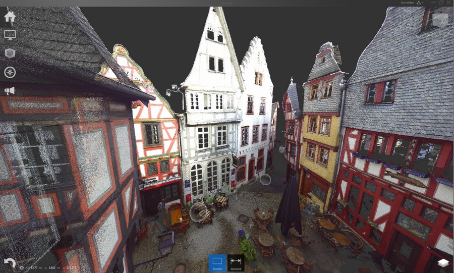

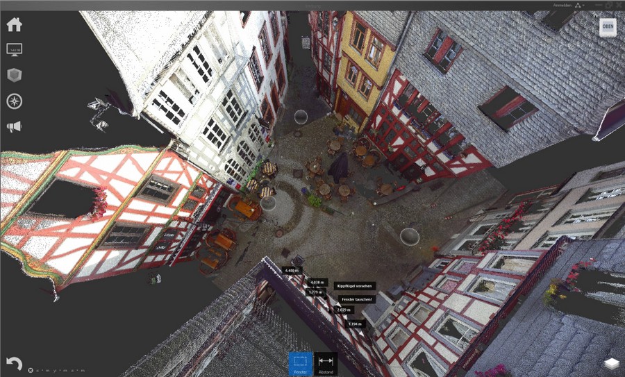

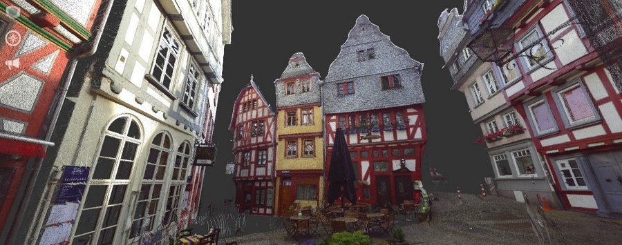
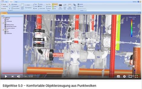
Edgewise
The US company Clearedge has launched an exciting product for generating objects from point clouds. This software is now also compatible with German data libraries. Whether you need steel construction, pipework or components for Autodesk Revit – talk to us!
PointCab
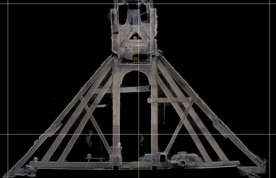
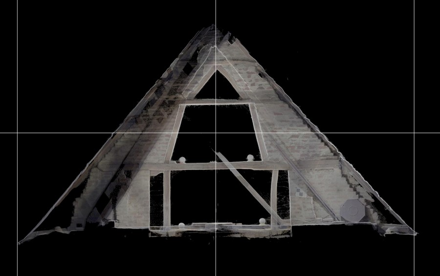
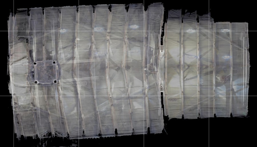
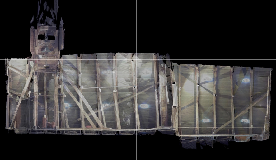
With PointCab you can generate any 2D content from the 3D point cloud. Floor plans, sections or elevations with freely selectable section depths can be created as 2D image files. These orthophotos are high-resolution, distortion-free and true to scale. Placed in CAD as an image file, they form the basis for precise 2D vector drawings. PointCab is distributed by Laserscanning Europe; further details can be found at www.pointcab-software.com