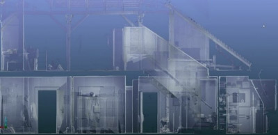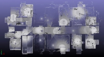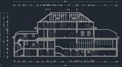

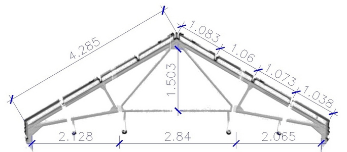
- Elevations, sections or floor plans: you choose the exact section position and view depth. The resulting 2D measured image then contains all the building data present at that position.
- In this way, the entire building with its interiors, structures and façades is captured true to scale and free of distortion, and documented in its current condition.
- You can carry out this work yourself with your CAD team, or receive the finished CAD drawings from us according to your specifications.
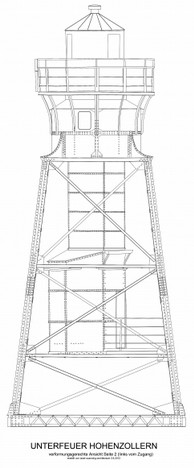
For the as-built documentation, the 18 m high steel structure of the front range light had to be surveyed completely within just 3 hours, immediately after its refurbishment and before it was transported back.
With 3D laser scanning, this was achievable.
LSA scanned the tower and produced the 2D CAD drawings of the elevations in Autocad.
Further supplementary analyses can be derived from the scans at any time, even now that the tower is back in its original location, warning ships of the water’s edge.
In colour and with every detail:
The measured images from the 3D scans are so accurate that even the cracks in the walls and the stone formats can be read off.
If floor plans or sections rather than façades are to be produced in 2D, this is just as easily possible with the 3D model.
3D survey of Villa Loeb in München.
The architects Wurfbaum + Niggl from München, commissioned with the refurbishment of the house in line with heritage requirements, opted for a 3D scan by LSA. Within just 2.5 working days, all façades and the 5 storeys were surveyed with 2 FARO Focus laser scanners in 200 individual scans.
The 2D CAD drawings were then produced from the generated point cloud.