Send us a no-obligation enquiry now:+49 (0) 511 81 40 60mail@LSA3D.com

Property Valuation and Damage Assessment

3D scans now enable highly cost-effective surveys of existing properties.

Portfolio holders, insurers and banks are often faced with the problem that their properties are inadequately documented or that the documentation is out of date. 3D scans now enable highly cost-effective surveys of existing properties.

1

Documentation

The comprehensive documentation of a property available after the 3D scan offers decisive advantages for appraisals and asset valuations. The condition of buildings, facilities and businesses is thus documented transparently and in a legally sound manner.

2

Determining and assessing

Determine asset values without time or location constraints using internet-based scan data. Assess the building fabric and update area calculations quickly and conveniently.

3

Inventory capture

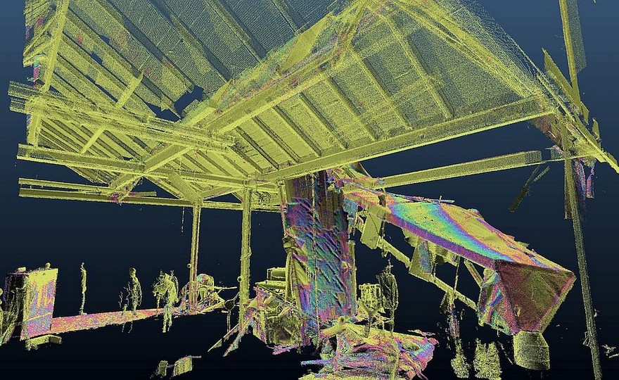
In addition to the building structure, the scan also captures all technical installations and the inventory and depicts them in three dimensions. The overall condition of the property, including its furnishings, can thus be documented precisely.

Send us a no-obligation enquiry now:

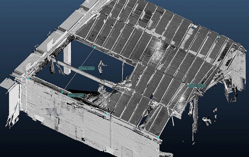
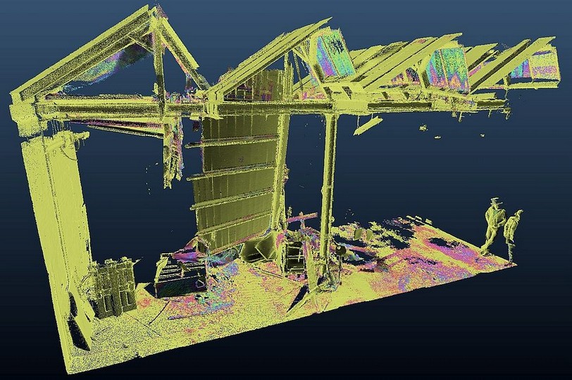
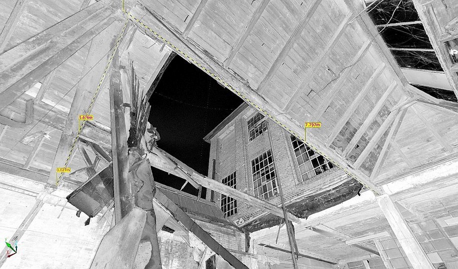
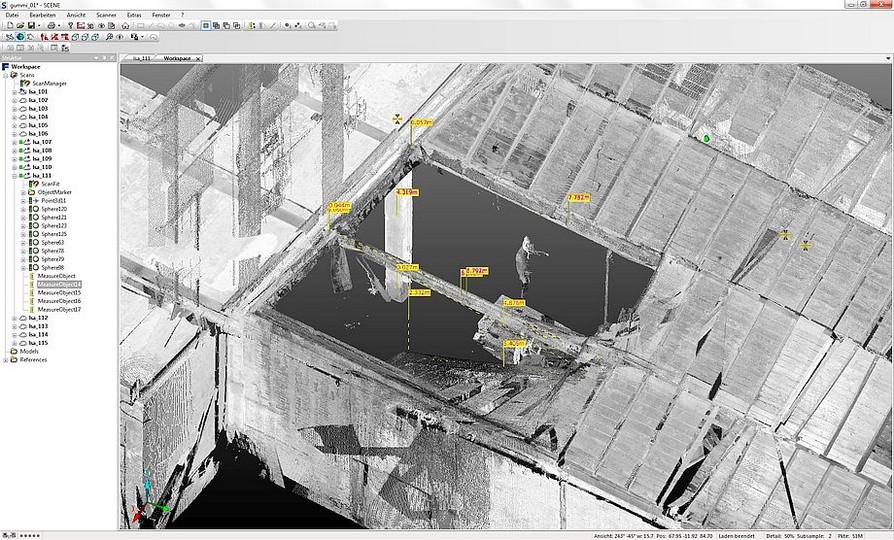
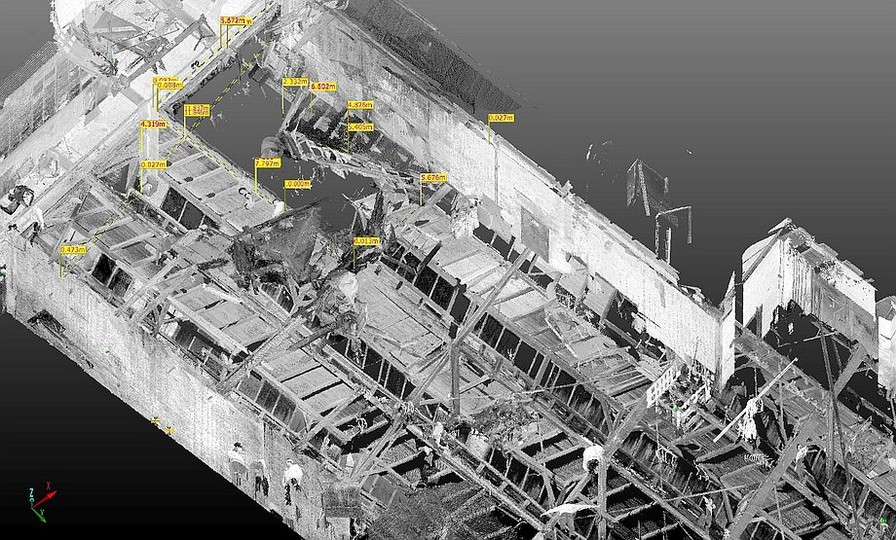
Here you can see how 3D scan data helps to catalogue damage to buildings

In the event of an insurance claim, when a building has been damaged by fire, water or destruction, new scans can be compared with the initial survey and displayed in the same data model. Differences and damage patterns are thus documented in detail.

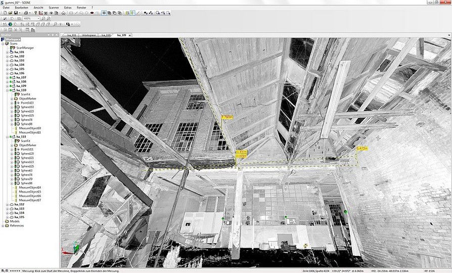
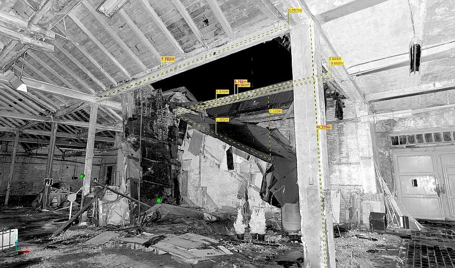
The data is so comprehensive and precise that even the deflection of ceilings, the inclination of walls and further structural investigations can be carried out using the 3D scans. This gives expert assessors a tool for reliably determining the extent of damage.

Interactive panoramic views enable detailed visual analyses. Claims handlers and assessors walk through the scanned property on the internet, on their company intranet or offline, experiencing it in a very vivid and immersive way.

The browser-based application is very easy to use: the scan positions are marked on a site plan and can be opened individually, allowing thorough analysis of the property from any desired viewpoint. Distance measurements, area calculations, text comments and links to other websites are even possible.

powered by Reuther-Media