
Send us a no-obligation enquiry now:+49 (0) 511 81 40 60mail@LSA3D.com

CAD programs

More and more CAD programs now allow you to attach or insert the point cloud directly. As formats and methods often differ, we explain here how best to make use of this.

Autodesk

In Autocad it began 10 years ago with the pcg format, which allowed you to load scan data directly into your drawing. What initially seemed somewhat clumsy has since evolved into the established and convenient world of ReCap. Whether Autocad, Inventor, Revit or 3DS MAX, all Autodesk 3D applications use the ReCap format to import laser scanner data. In addition, the Navisworks file viewer allows you to compare 3D CAD models with point clouds and to output clashes automatically.

You can download our guide to working with ReCap data in Autocad here:

DOWNLOAD

Display options for point clouds in Autocad

Creating CAD drawings with the ReCap file in Autocad

Different colourings for multiple scan regions

Archicad

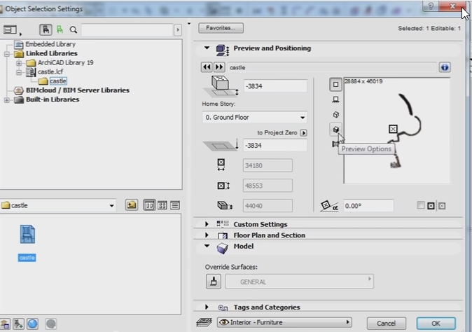
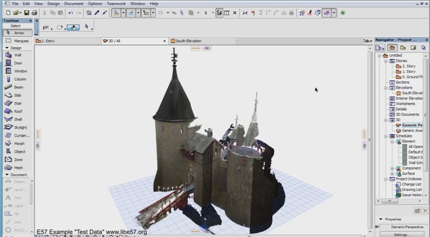
At last: since Archicad 19 it has been possible to use point clouds in this 3D BIM software, which is very popular with architects. The data basis is provided by e57 or XYZ formats, which are converted into Archicad’s own GDL format. More information is available in the video tutorial on YouTube. As an add-on, Points4BIMm is worth a look for transferring 3D points from scan photos to Archicad.

Bentley Microstation

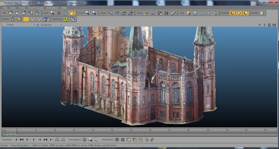
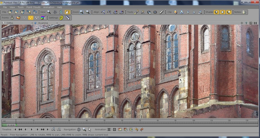
Microstation allows very convenient handling of scan data by importing pod files. We can also supply this format to you after a 3D scan of your property. The Pointools software, which was acquired by Bentley, was for a long time a pioneer among point cloud engines for visualisations and video animations. It is now available as Bentley Pointools V8i software.

Vectorworks

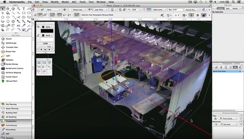
Vectorworks is now also able to process point clouds. We can supply the basis for this in e57 format.
Watch the video to see how well and how easily this works (click on the image)!
powered by Reuther-Media